Moku ʻO Wailuku
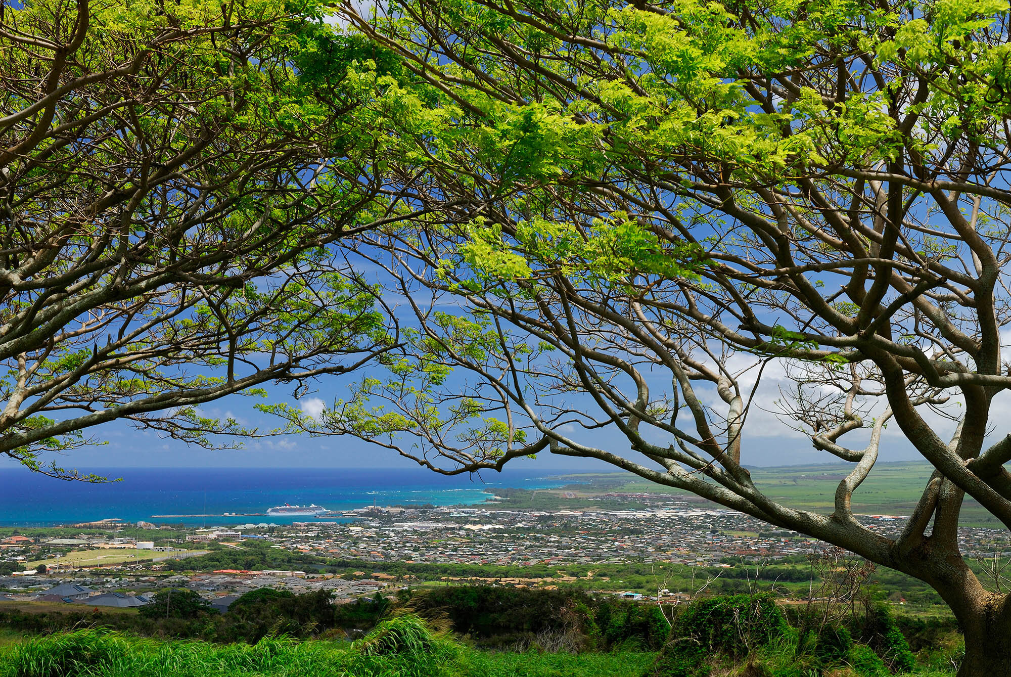
The ahupuaʻa within the Moku ʻO Wailuku is comprised of Wailuku and Kahului areas, including near Spreckelsville and Maui Veterans Highway (formerly known as Mokulele Hwy).
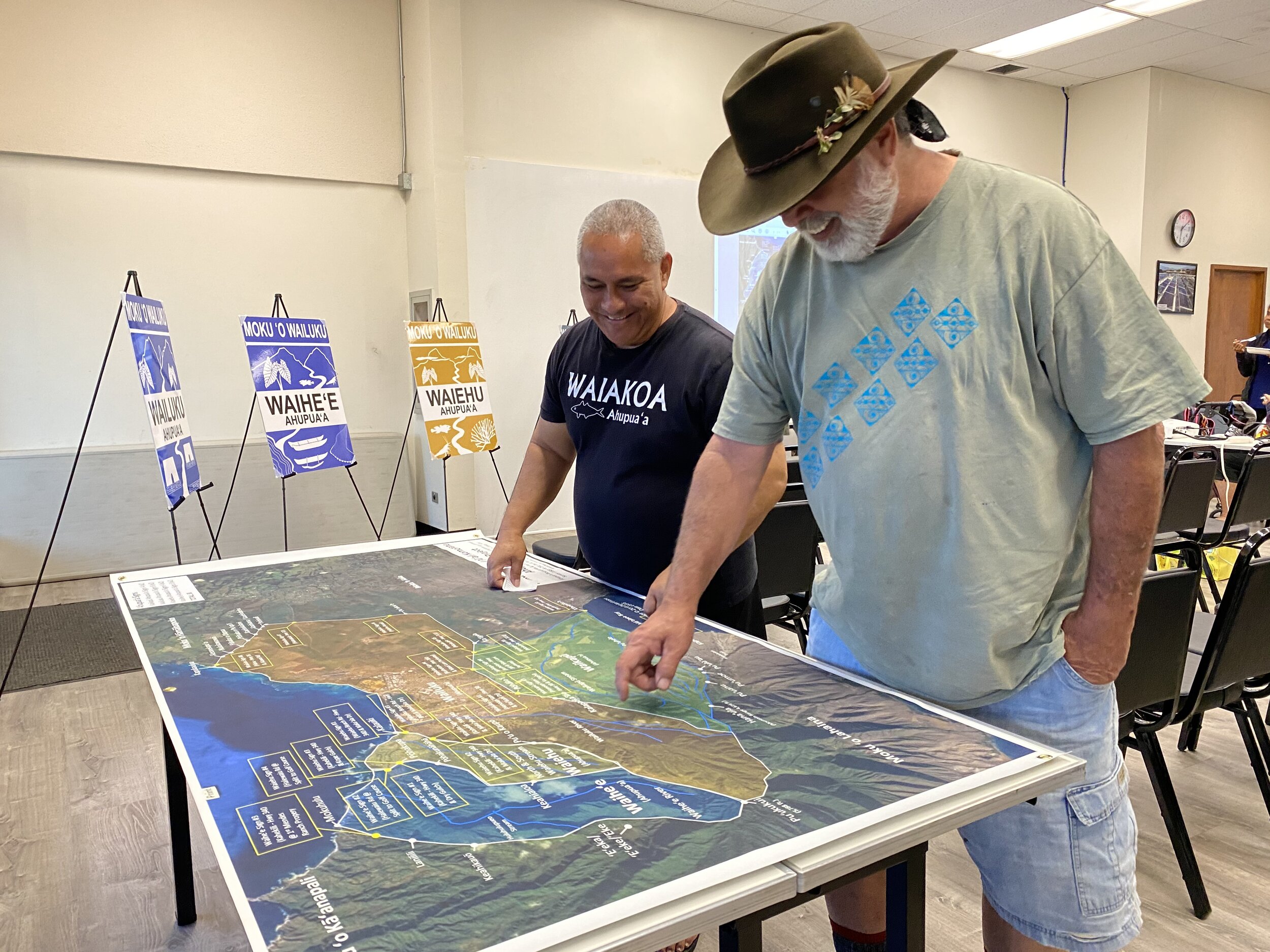
The project’s coordinator/designer Vernon Kalanikau worked with the community to determine signage placement and content within the Moku ʻO Wailuku.
Signs will begin installation starting in December 2020. Proposed locations to install signs on County Roads are shown below. County of Maui Public Works may also recommend other locations.
This project was supported by Council Members Tasha Kama and Alice Lee through a Kahului and Wailuku Economic Development, Environmental and Cultural Programs Fund.


Proposed Signage Locations in the Moku ʻO Wailuku

Ho‘okele Street in Kahului (near Walmart / Target)

Kane Street in Kahului (near Queen Ka‘ahumanu Center)

W. Kamehameha Avenue in Kahului (near Maui Electric Company)
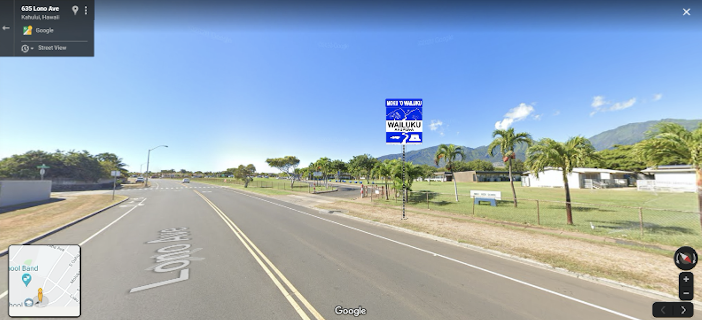
Lono Avenue in Kahului (near Maui High School)
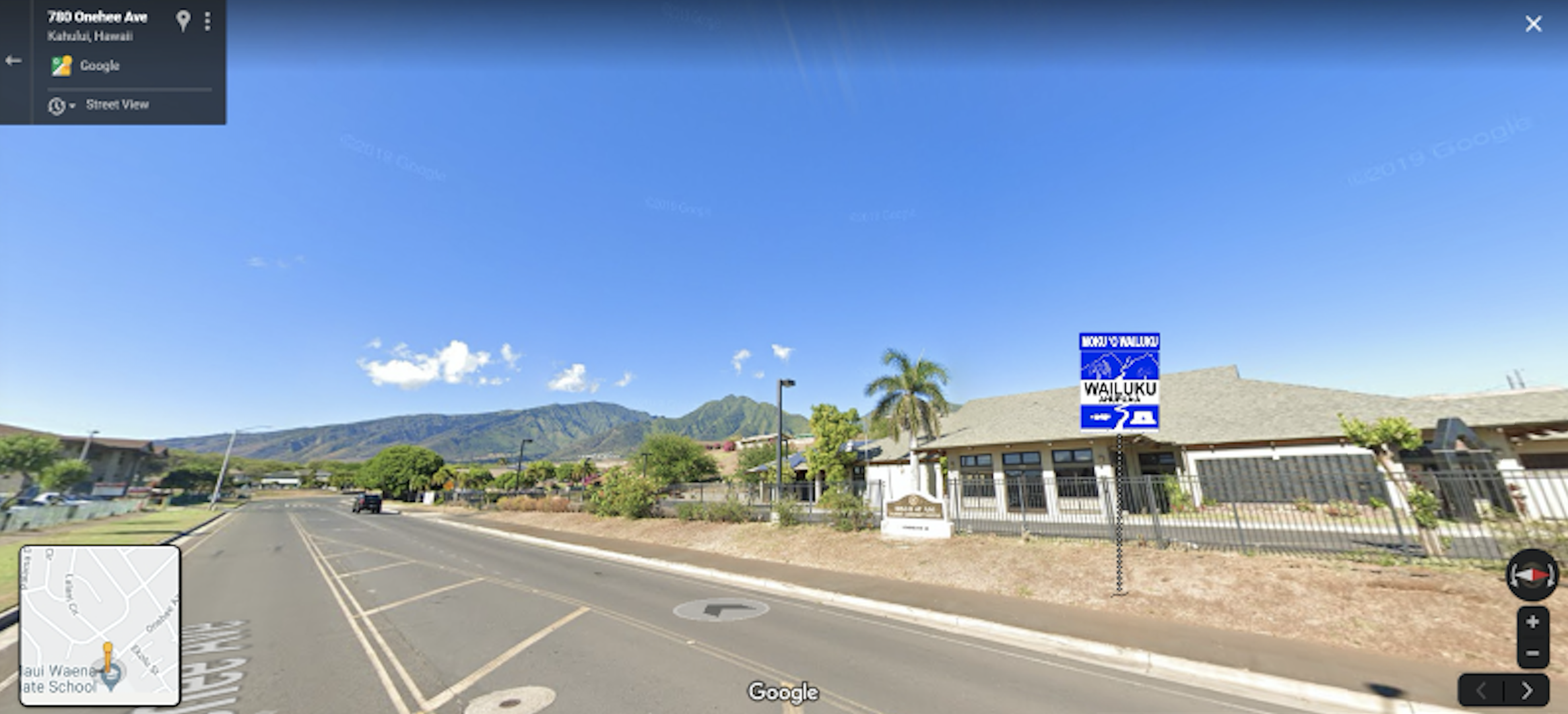
Binhi At Ani Filipino Community Center on Onehee Avenue in Kahului

Hina Avenue in Kahului (near Kahului School)

W. Kamehameha Avenue in Kahului (near Church Of Jesus Christ Of Latter Day Saints)

Papa Avenue and Lihikai School in Kahului
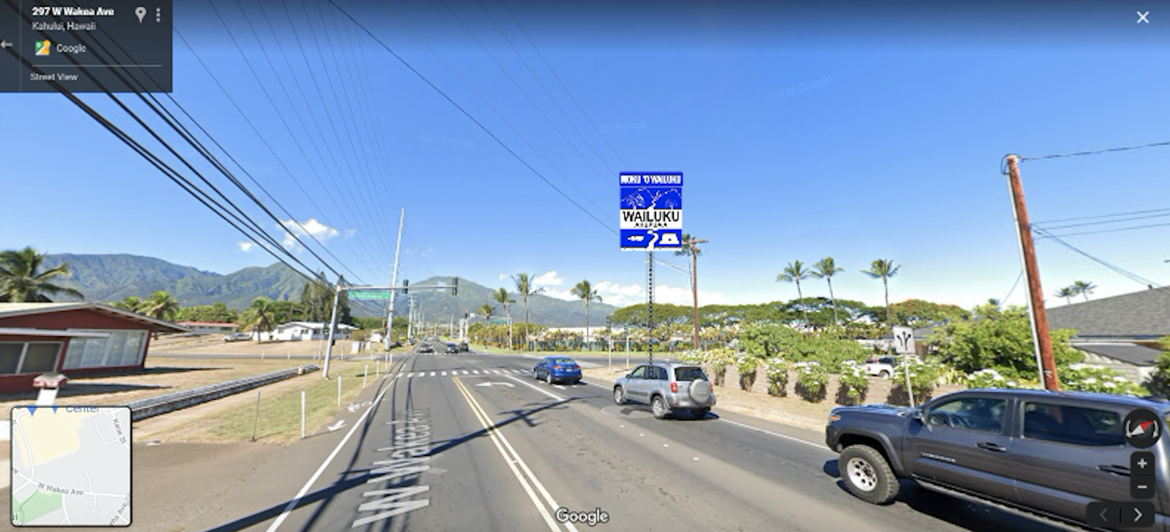
Wakea Avenue at Kamehameha Avenue intersection in Kahului

Moku `O Wailuku boundary map updated by Hōkūao of Hui o Nā Wai ʻEhā.
Map hows possible signage location which are in alignment with roads and highways and are closest to or on traditional palena ʻāina (boundaries) in each ahupuaʻa.